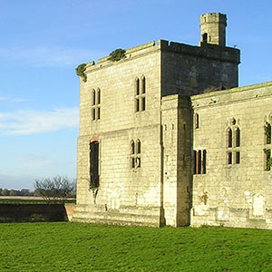
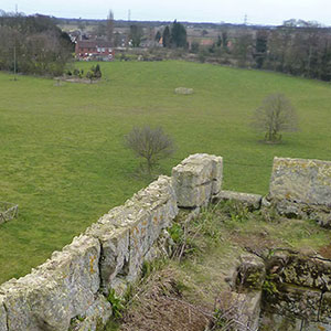

Geophysical survey at Castell Dinas Bran, Denbighshire
Sum awarded: £1,825
The geophysical survey to be carried out at Castell Dinas Bran seeks to find the location of buildings within the castle and to improve our understanding of the site.
Two methods will be used: a resistivity survey over 1.5ha and a magnetometry survey over 1ha. The use of both geophysical survey approaches within the castle should allow us to provide more detailed information about the interior and what it contained.
The stone remains of Castell Dinas Bran are dramatically located on top of a hill which has been used since at least the Iron Age. The Welsh castle was built in the 13th century on the site of an Iron Age hillfort. The surveys will help understand how the castle effected the prehistoric landscape. The castle featured in the wars between Edward I and Llywelyn ap Gruffydd, and was attacked and burnt by the Welsh in 1277 when they held it and subsequently attacked by the English the same year. It was not repaired and soon fell out of use.

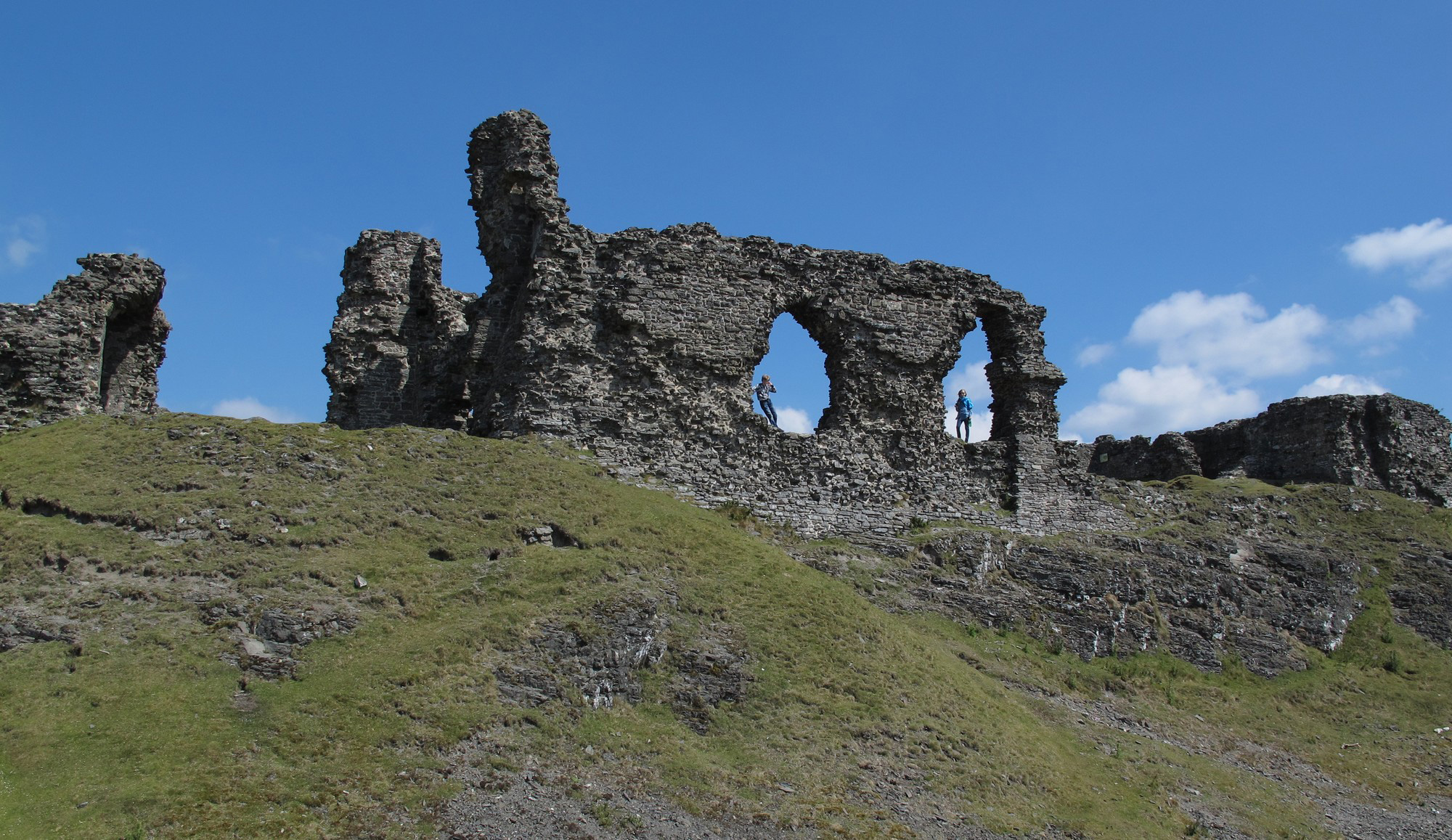
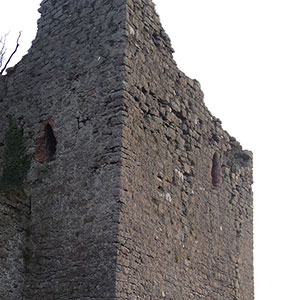
Image 2: Eva Mostraum, CC-by-NC-SA